Lava Beds National Monument sits in Siskiyou County, where the 2023 violent crime rate of 526.5 per 100,000 residents — well above California's statewide average — is the clearest safety concern for visiting families. The monument's remote location means long response times from law enforcement, which amplifies that county-level risk even if the park itself feels isolated and quiet.
Park in well-lit, visible areas near the visitor center rather than at trailhead pullouts after dark, and keep valuables completely out of sight — bags, chargers, and gear left on seats are common triggers for vehicle break-ins in high-rate counties. Share your itinerary and expected return time with someone outside the park, and carry a charged backup battery for your phone since cell coverage across the monument is sparse and spotty.
Top recorded hazards in Siskiyou County
County dataFrom NOAA Storm Events (2024). Counts of recorded incidents — not all occurred at this park.
- Thunderstorm Wind 1
Gear keyed to this park's risks
Recommendations driven by the actual hazards above. As an Amazon Associate we earn from qualifying purchases.
Own this campground? Get featured.
Premium listing slots for verified owners — show photos, amenity details, and direct booking links above the standard data card. Drop your contact info and we'll reach out.
About Lava Beds National Monument
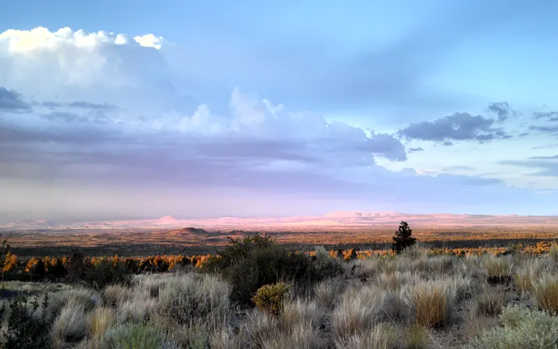
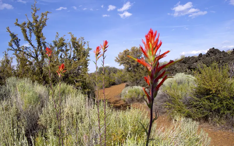
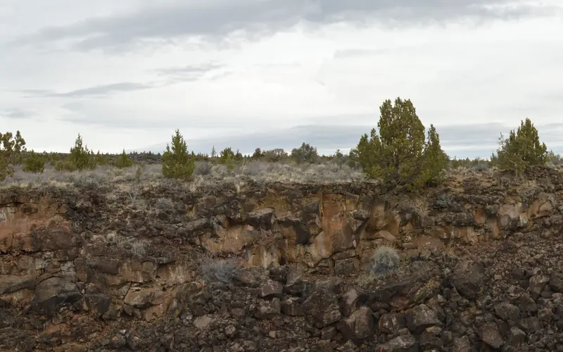
Lava Beds National Monument is a land of turmoil, both geological and historical. Over the last half-million years, volcanic eruptions on the Medicine Lake shield volcano have created a rugged landscape dotted with diverse volcanic features. More than 800 caves, Native American rock art sites, historic battlefields and campsites, and a high desert wilderness experience await you!
Weather
Park elevations range from 4,000 to 5,700 feet. Cold weather is possible any time of year, and snow has been recorded in all months. Winter daytime highs average 40°F; lows average 20°F. Morning fog is frequent from autumn through spring. Summer daytime highs average 75° to 80°F; lows average 50°F. Occasional thunderstorms occur in summer.