Flooding is the clearest natural hazard at Kaloko-Honokōhau, with Hawaii County recording 9 flood-related events (5 flash floods and 4 general floods) in the tracked period. The lava-rock terrain drains poorly and can funnel sudden runoff from upslope rainfall directly into low-lying coastal areas with little warning, even when skies near the shoreline look clear.
Before heading out, download a weather radar app that shows rainfall totals upslope — rain on the slopes above Kona can reach the coast fast. Wear closed, grippy footwear rather than sandals so you can move quickly off slick lava if water begins sheeting across the trail. Park vehicles on elevated ground rather than in low pockets near the fishponds, and if the sky darkens inland, move to higher ground immediately rather than waiting to see how conditions develop.

Top recorded hazards in Hawaii County
County dataFrom NOAA Storm Events (2024). Counts of recorded incidents — not all occurred at this park.
- Flash Flood 5
- Flood 4
Gear keyed to this park's risks
Recommendations driven by the actual hazards above. As an Amazon Associate we earn from qualifying purchases.
Own this campground? Get featured.
Premium listing slots for verified owners — show photos, amenity details, and direct booking links above the standard data card. Drop your contact info and we'll reach out.
About Kaloko-Honokōhau National Historical Park
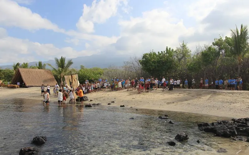
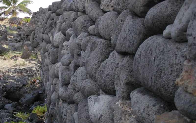
Along the western coastline of the Island of Hawaiʻi lies the hot, rugged lava of Kaloko-Honokōhau. This seemingly barren and harsh landscape does not appear to be suitable for human existence, and yet, long before written history, the Hawaiian people built a thriving settlement upon this ʻaʻā lava.
Weather
The weather in the park is typically hot and sunny, with temperatures in the upper 80's.