Heavy snow is the dominant hazard along the Ice Age Floods National Geologic Trail corridor, with 90 recorded heavy-snow events shaping a weather profile that also includes 49 high-wind incidents and 42 thunderstorm-wind events in Washington state. That wind-plus-snow combination can close access roads and strand campers with little warning, and the broader hazard record shows 16 deaths and 9 injuries tied to these conditions.
Before heading out, check WSDOT road conditions the morning of your trip, since Highway 26 and other trail-adjacent routes ice over quickly after snowfall. Pack traction cables or chains even on a clear spring day — conditions through the Columbia Plateau can shift within hours. A battery-powered NOAA weather radio will keep you updated if cellular service drops, which it commonly does in the more remote scabland sections.
Top recorded hazards in Washington
State dataFrom NOAA Storm Events (2024). Counts of recorded incidents — not all occurred at this park.
- Heavy Snow 90
- High Wind 49
- Thunderstorm Wind 42
- Winter Weather 34
- Wildfire 25
- Frost/Freeze 22
Gear keyed to this park's risks
Recommendations driven by the actual hazards above. As an Amazon Associate we earn from qualifying purchases.
Own this campground? Get featured.
Premium listing slots for verified owners — show photos, amenity details, and direct booking links above the standard data card. Drop your contact info and we'll reach out.
About Ice Age Floods National Geologic Trail
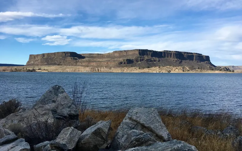
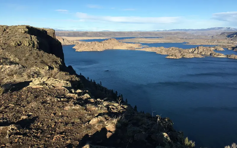
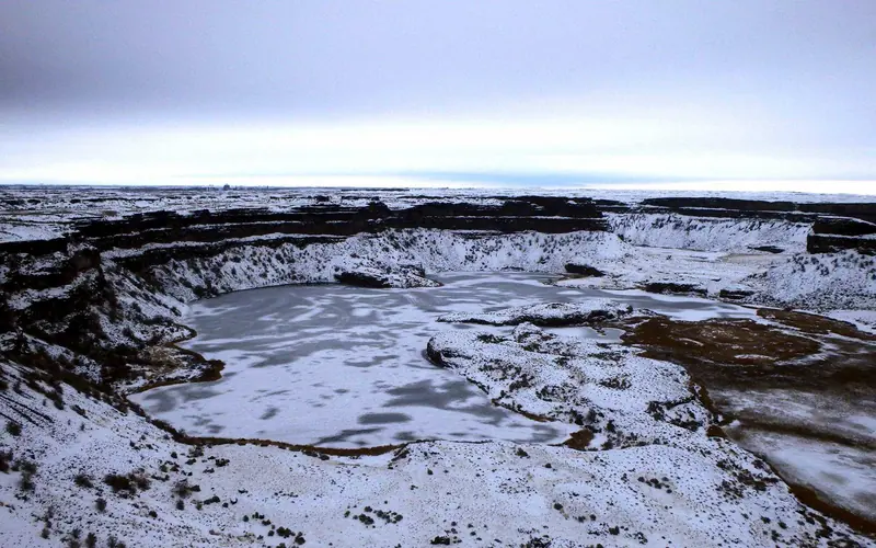
At the end of the last Ice Age, 18,000 to 15,000 years ago, an ice dam in northern Idaho created Glacial Lake Missoula stretching 3,000 square miles around Missoula, Montana. The dam burst and released flood waters across Washington, down the Columbia River into Oregon before reaching the Pacific Ocean. The Ice Age Floods forever changed the lives and landscape of the Pacific Northwest.
Weather
The National Geologic Trail is a collection of sites stretched across a four state area, the weather will vary from site to site. Please check the weather for your local region, or the region you'll be visiting, through their respective sites.