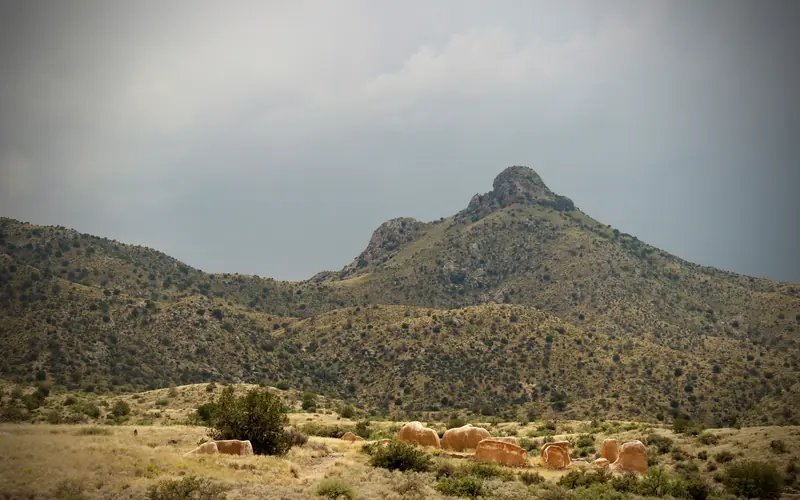
Monsoon-driven weather is the sharpest hazard at Fort Bowie, where Cochise County recorded 14 thunderstorm wind events, 5 flash floods, and a tornado in recent years. The 1.6-mile unpaved trail to the historic site crosses an open canyon wash that can fill rapidly without warning during Arizona's summer monsoon season (roughly July through September), leaving hikers exposed and cut off.
Check the National Weather Service forecast before you hike and turn back immediately if you hear thunder — lightning strikes are common during afternoon buildups in this high-desert terrain. Pack a rain shell and wear trail runners or boots with ankle support, since wet caliche and loose rock on the canyon path become slippery fast. If you're day-tripping from a campsite, park on higher ground away from the wash and avoid lingering near the streambed after any visible storm activity upcanyon.

Top recorded hazards in Cochise County
County dataFrom NOAA Storm Events (2024). Counts of recorded incidents — not all occurred at this park.
- Thunderstorm Wind 14
- Flash Flood 5
- Hail 2
- Tornado 1
Gear keyed to this park's risks
Recommendations driven by the actual hazards above. As an Amazon Associate we earn from qualifying purchases.
Own this campground? Get featured.
Premium listing slots for verified owners — show photos, amenity details, and direct booking links above the standard data card. Drop your contact info and we'll reach out.
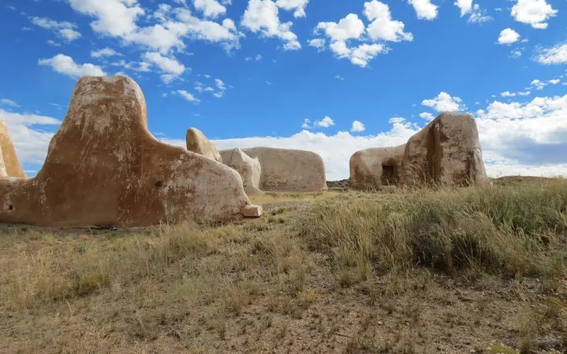
About Fort Bowie National Historic Site
For nearly 25 years, Fort Bowie stood at the crossroads of the Chiricahua Apache's fight to defend their ancestral homeland and the U.S. Army's westward expansion. Today, visitors embark on a 3-mile scenic loop trail traversing the ground where this profound cultural collision forever altered the course of both American and Indigenous history.