The clearest risk at El Morro comes from the surrounding Cibola County, where violent crime runs at 795.2 incidents per 100,000 residents — a rate that warrants attention even for a short overnight stay near this remote New Mexico monument. The recorded weather hazards are modest, with just four total events logged including two flash floods, but those floods in canyon-and-mesa terrain can move fast with little warning.
For your stay, park in well-lit or communal campground areas and keep valuables locked out of sight in your vehicle rather than left on picnic tables. If afternoon thunderstorms build — and they do regularly in New Mexico summers — move off the inscription trail and away from exposed sandstone ledges immediately, since the same storms that bring hail can funnel dangerous runoff through the arroyos below the monument within minutes. A weather radio or downloaded offline forecast for Cibola County will give you a reliable heads-up before you head out on the trail.
Top recorded hazards in Cibola County
County dataFrom NOAA Storm Events (2024). Counts of recorded incidents — not all occurred at this park.
- Flash Flood 2
- Thunderstorm Wind 1
- Hail 1
Gear keyed to this park's risks
Recommendations driven by the actual hazards above. As an Amazon Associate we earn from qualifying purchases.
Own this campground? Get featured.
Premium listing slots for verified owners — show photos, amenity details, and direct booking links above the standard data card. Drop your contact info and we'll reach out.
About El Morro National Monument
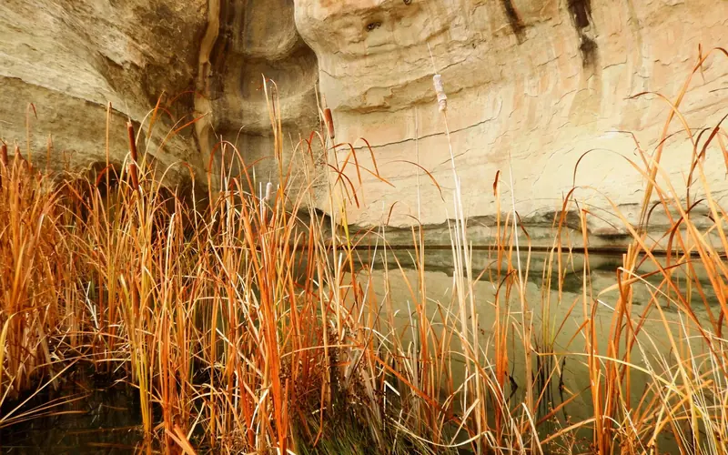
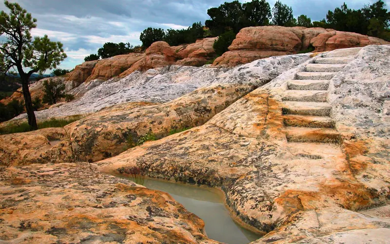
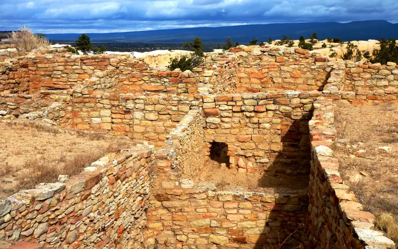
Imagine the refreshment of finding water after days of dusty travel. A reliable waterhole hidden at the base of a sandstone bluff made El Morro (the headland) a popular campsite for hundreds of years. Here, ancestral Puebloans, Spanish, and American travelers carved over 2,000 signatures, dates, messages, and petroglyphs. Make El Morro National Monument a stopping point on your travels.
Weather
At an elevation of 7,219 feet (2200 meters) winters can be cold and snowy. Summers are warm with afternoon thunder showers from mid-July through mid-September. Trails can close unexpectedly due to severe weather. Average snowfall: 40 inches per year. Average precipitation (snowmelt and rain): 16 inches per year. Warmest month: July, with average highs of 84 degrees and lows of 52 degrees. Coldest months: December and January, with average lows of 14-15 degrees, and average highs of 44-45 degrees.