The clearest risk at Cedar Breaks isn't crime or flooding — it's the elevation-driven storm threat, where a single recorded thunderstorm wind event joins a flash flood incident to flag an environment where weather turns fast and hard above 10,000 feet. The monument sits at one of the highest elevations of any national park unit in the country, meaning afternoon thunderstorms build rapidly and strike with little warning, even on mornings that start clear.
Pack a rain shell rated for wind — not just a poncho — and plan to be off exposed rim trails by noon during summer months when convective storms peak. Keep a weather radio or a downloaded offline forecast app with hourly data, since cell coverage is unreliable at elevation. If you're camping overnight, stake your tent with all guy lines attached; wind events here hit without the gradual buildup you'd feel at lower campgrounds.


Top recorded hazards in Iron County
County dataFrom NOAA Storm Events (2024). Counts of recorded incidents — not all occurred at this park.
- Flash Flood 1
- Thunderstorm Wind 1
Gear keyed to this park's risks
Recommendations driven by the actual hazards above. As an Amazon Associate we earn from qualifying purchases.
Own this campground? Get featured.
Premium listing slots for verified owners — show photos, amenity details, and direct booking links above the standard data card. Drop your contact info and we'll reach out.
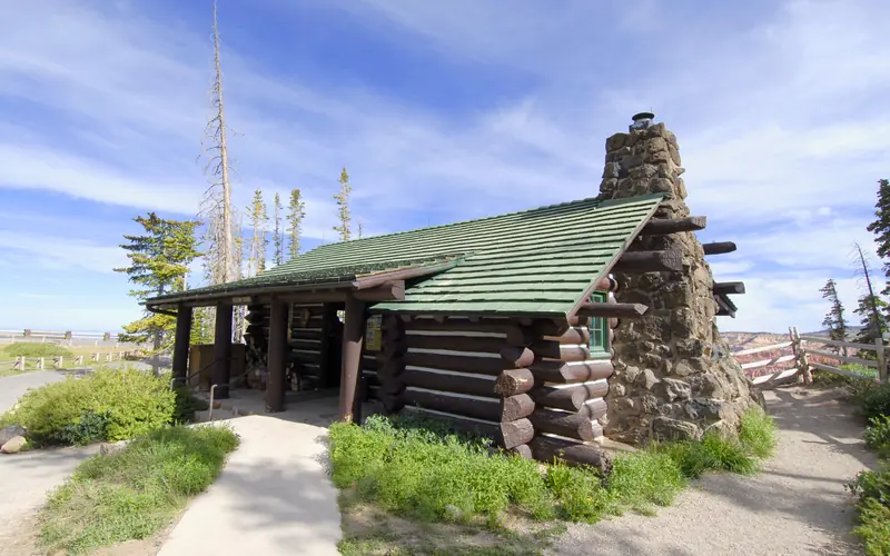
About Cedar Breaks National Monument
Crowning the Grand Staircase, Cedar Breaks sits at over 10,000 feet and looks down into a half-mile deep geologic amphitheater. Come wander among timeless bristlecone pines, stand in lush meadows of wildflowers, ponder crystal-clear night skies and experience the richness of our subalpine forest.
Weather
Cedar Breaks sits at over 10,000 feet in elevation and is usually 10-20 degrees cooler than surrounding parks. Be prepared for cooler temperatures and unpredictable weather. Snow, sleet, and hail can occur at any time of the year, even in the summer! Summer-time highs are between 60 and 70°F and night-time lows dip to 30-40s°F. Thunderstorms frequently develop in the afternoons. Be aware of lightning and avoid exposed trails and overlooks until storms pass.